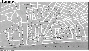
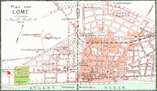
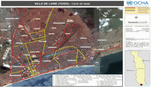
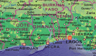
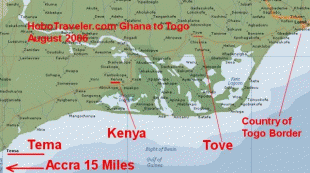
Lomé
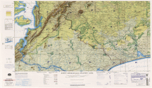
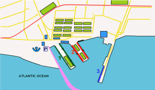
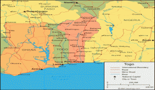
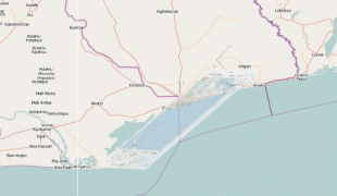
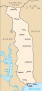
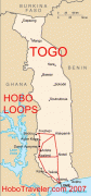
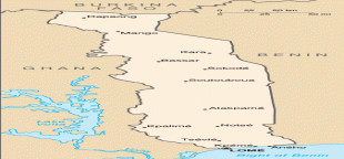
Lomé is the capital and largest city of Togo. It has an urban population of 837,437 while there were 1,477,660 permanent residents in its metropolitan area as of the 2010 census. Located on the Gulf of Guinea at the southwest corner of the country, with its entire western border along the easternmost point of Ghana's Volta Region, Lomé is the country's administrative and industrial center, which includes an oil refinery. It is also the country's chief port, from where it exports coffee, cocoa, copra, and oil palm kernels.
Its city limits extends to the border with Ghana, located a few hundred meters west of the city center, to the Ghanaian city of Aflao and the South Ketu district where the city is situated, had 160,756 inhabitants in 2010. The cross-border agglomeration of which Lomé is the centre, has about 2 million inhabitants as of 2020.
The name 'Lomé' comes from Alo(ti)mé or (shorter) Alomé, which in the Ewe language, literally, means "in the alo trees", or "within the alo trees", to designate simply the forest of alo.
For the record, Alo-ti or alo is a tree whose wood is being used by native people and is today produced also in factories, to make small logs very popular that are used as traditional toothpicks, especially in Lomé and the south of the country.
Map - Lomé
Map


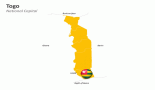
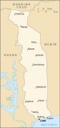
Country - Togo
 |
 |
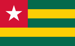
| Flag of Togo | |
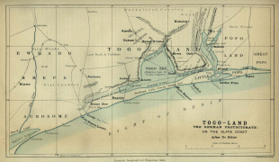
Various people groups settled the boundaries of present day Togo between the 11th to 16th centuries. Between the 16th and 18th centuries, the coastal region served primarily as a European slave trading outpost, earning Togo and the surrounding region the name "The Slave Coast". In 1884, Germany declared a region including a protectorate called Togoland. After World War I, rule over Togo was transferred to France. Togo gained its independence from France in 1960. In 1967, Gnassingbé Eyadéma led a successful military coup d'état, after which he became president of an anti-communist, single-party state. In 1993, Eyadéma faced multiparty elections marred by irregularities, and won the presidency three times. At the time of his death, Eyadéma was the "longest-serving leader in modern African history", having been president for 38 years. In 2005, his son Faure Gnassingbé was elected president.
Currency / Language
| ISO | Currency | Symbol | Significant figures |
|---|---|---|---|
| XOF | West African CFA franc | Fr | 0 |
| ISO | Language |
|---|---|
| EE | Ewe language |
| FR | French language |
| HA | Hausa language |